Mapping Engineering
| Department of Photogrammetry | 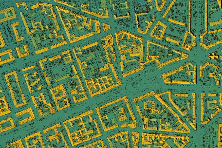 |
|
| Department of Photogrammetry |
Babol Noshirvani University of Technology proudly offers a comprehensive program in Photogrammetry within its civil engineering department. Photogrammetry is an exciting field that combines the art of photography with precise measurements to create detailed 3D models and maps of objects and landscapes. This orientation equips students with the knowledge and skills needed to master cutting-edge photogrammetric technologies, including remote sensing and image analysis. With a dedicated faculty and state-of-the-art laboratories, students receive hands-on training in capturing and processing aerial and satellite imagery, making them well-prepared for careers in land surveying, urban planning, geospatial analysis, and more. The university's commitment to research and innovation in this field ensures that students are exposed to the latest developments, setting them on a path to excel in this dynamic and in-demand profession. Rest assured, the Photogrammetry orientation at Babol Noshirvani University of Technology opens doors to a world of possibilities in the realm of civil engineering.
 |
Department of Geographic Information Systems (GIS) |
|
| Department of Geographic Information Systems (GIS) |
Babol Noshirvani University of Technology offers an exceptional program in Geographic Information Systems (GIS) within its civil engineering department. GIS is a multidisciplinary field that combines geography, technology, and data analysis to solve complex spatial problems. Students in this orientation learn to harness the power of GIS software and spatial data to make informed decisions in various sectors, including urban planning, environmental management, and transportation. The university provides access to cutting-edge GIS tools and equipment, ensuring that students receive hands-on training in geospatial analysis, cartography, and database management. With a dedicated faculty of experts and a commitment to research excellence, this program prepares students to become proficient GIS analysts and opens up diverse career opportunities in both the public and private sectors. Graduates are well-equipped to address real-world challenges related to spatial data and play a vital role in shaping smarter, more sustainable communities. Choosing the GIS orientation at Babol Noshirvani University of Technology is a stepping stone towards a rewarding and impactful career in civil engineering.